ALEX LUKAS
2023 - Now
Fanzines and Pamphlets University of California at Santa Barbara CONTACT FOLLOW
Concrete arrows in California, Nevada, and Utah
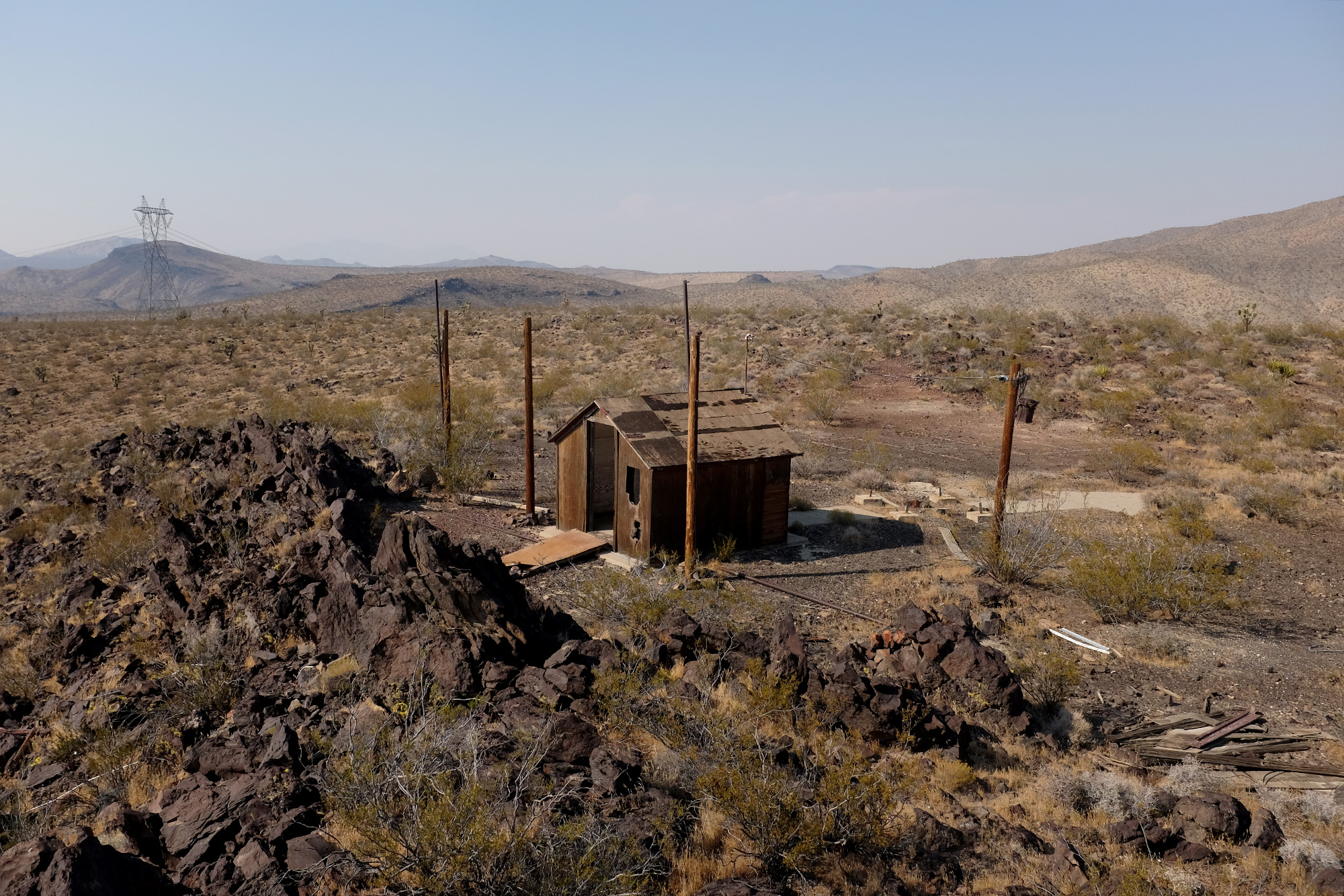
From the westbound lanes of Interstate 15, the rock formation looks imposing, but not entirely insurmountable. Its bifurcated peaks might be a significant geological formation east of the Mississippi, but here, between Baker, California, and Primm, Nevada, they feel unnoteworthy. To access the barren summit, one must leave I-15 at exit 259 (no services) and head north along Halloran Springs Road, where the blacktop promptly turns to sandy dirt. According to Google Maps, after a quarter mile, one needs to turn left onto an unnamed, unpaved byway that runs roughly parallel to the freeway. After approximately three miles on this service road, the GPS’ strong blue line indicating traversable street ends and is replaced by a gray dotted arc. The final ascent to the destination must be made on foot. Continued below
A small path leads north off the service road and away from I-15, towards the peak. It’s unclear if this path is an unmapped road or a dried riverbed. Either way, it provides room to turn around and park the innocuous white, quasi-official-looking rented economy SUV. The hike is deceptively steep and surprisingly treacherous. The temperature must be close to 100 degrees and, despite the hundreds of people speeding below on the freeway, it is hard not to feel precariously invisible. Terrifying scenarios involving sliding rocks, broken limbs, and poisonous reptiles are easy to imagine. While the whine of interstate traffic is omnipresent, it is too far to be a comfort.
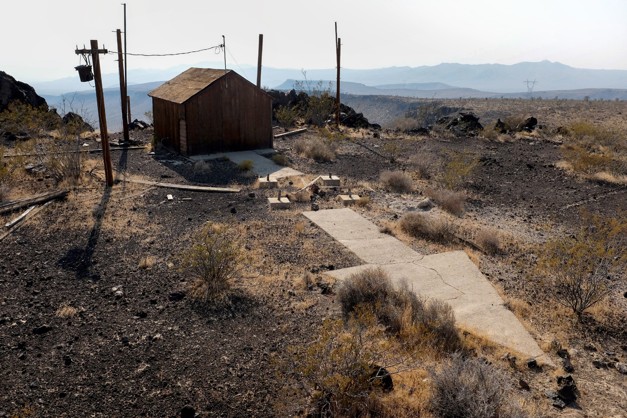
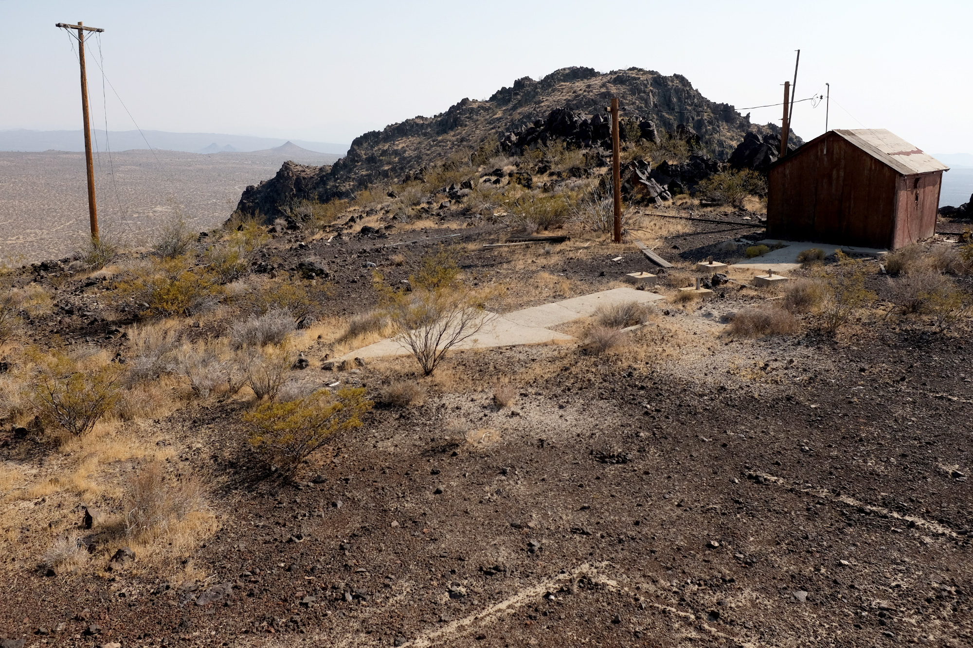
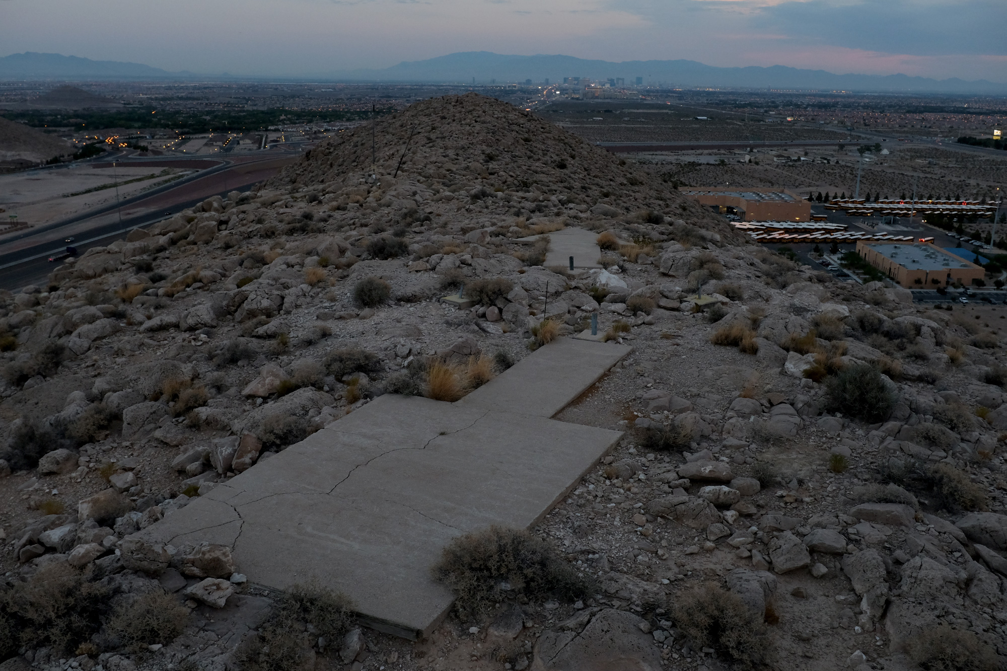
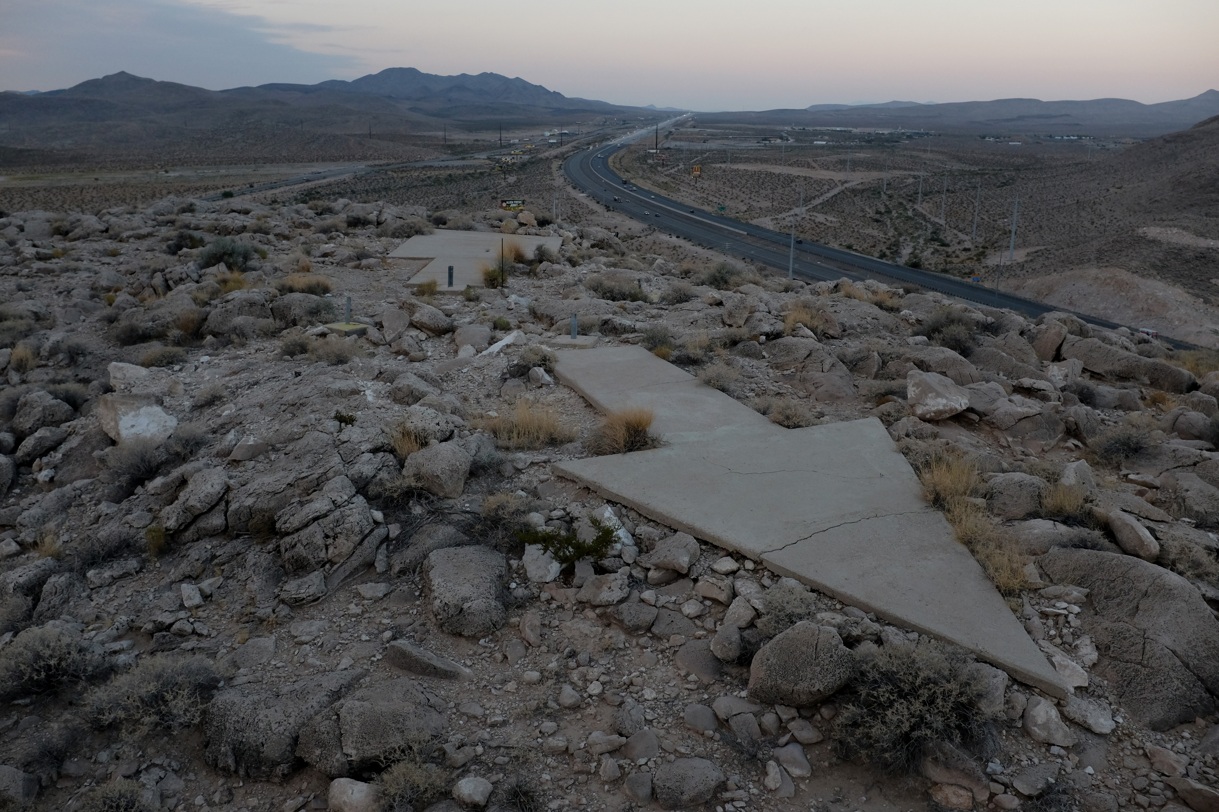
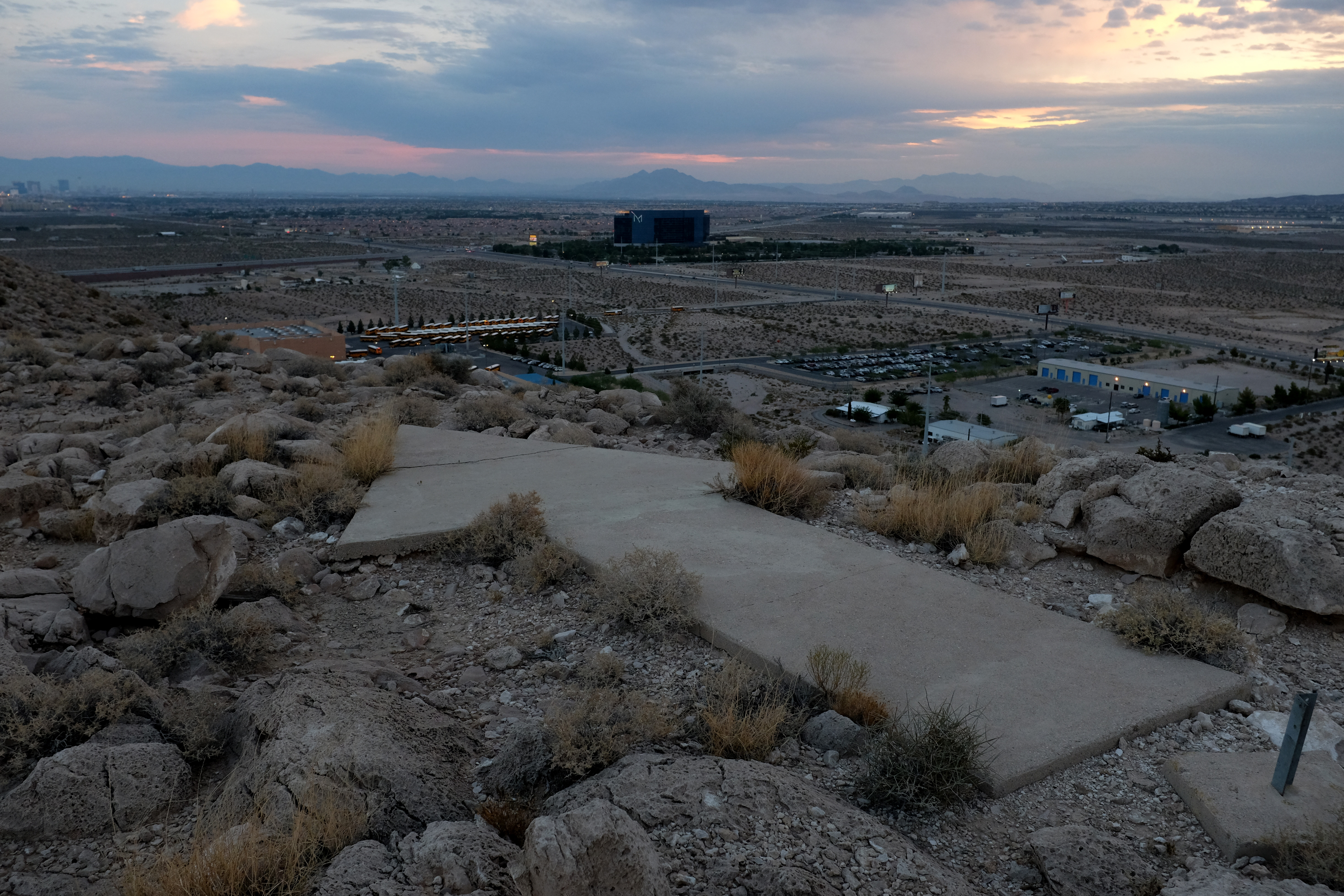
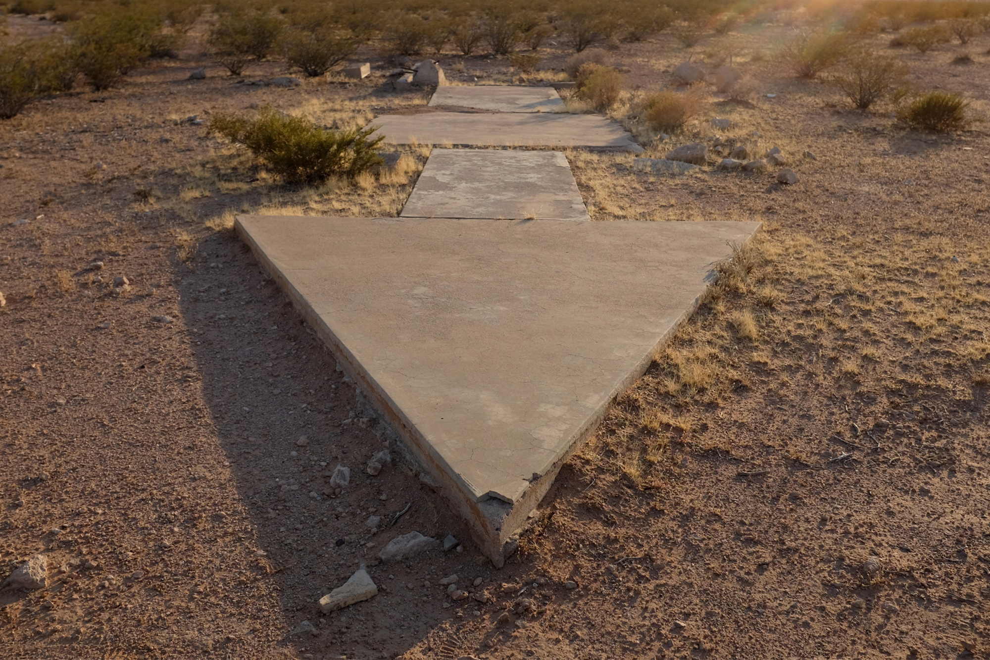
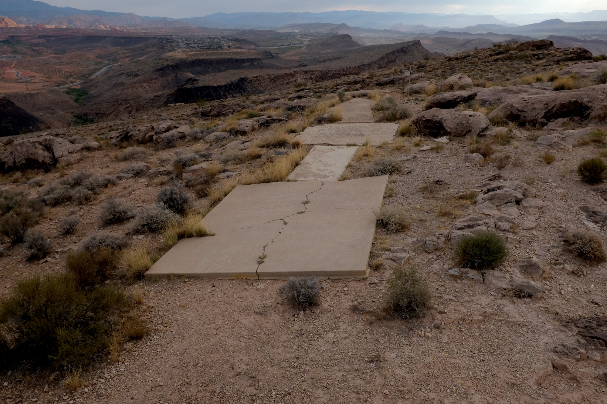
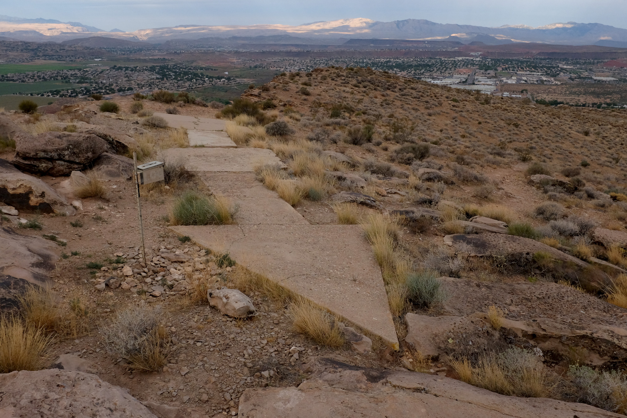
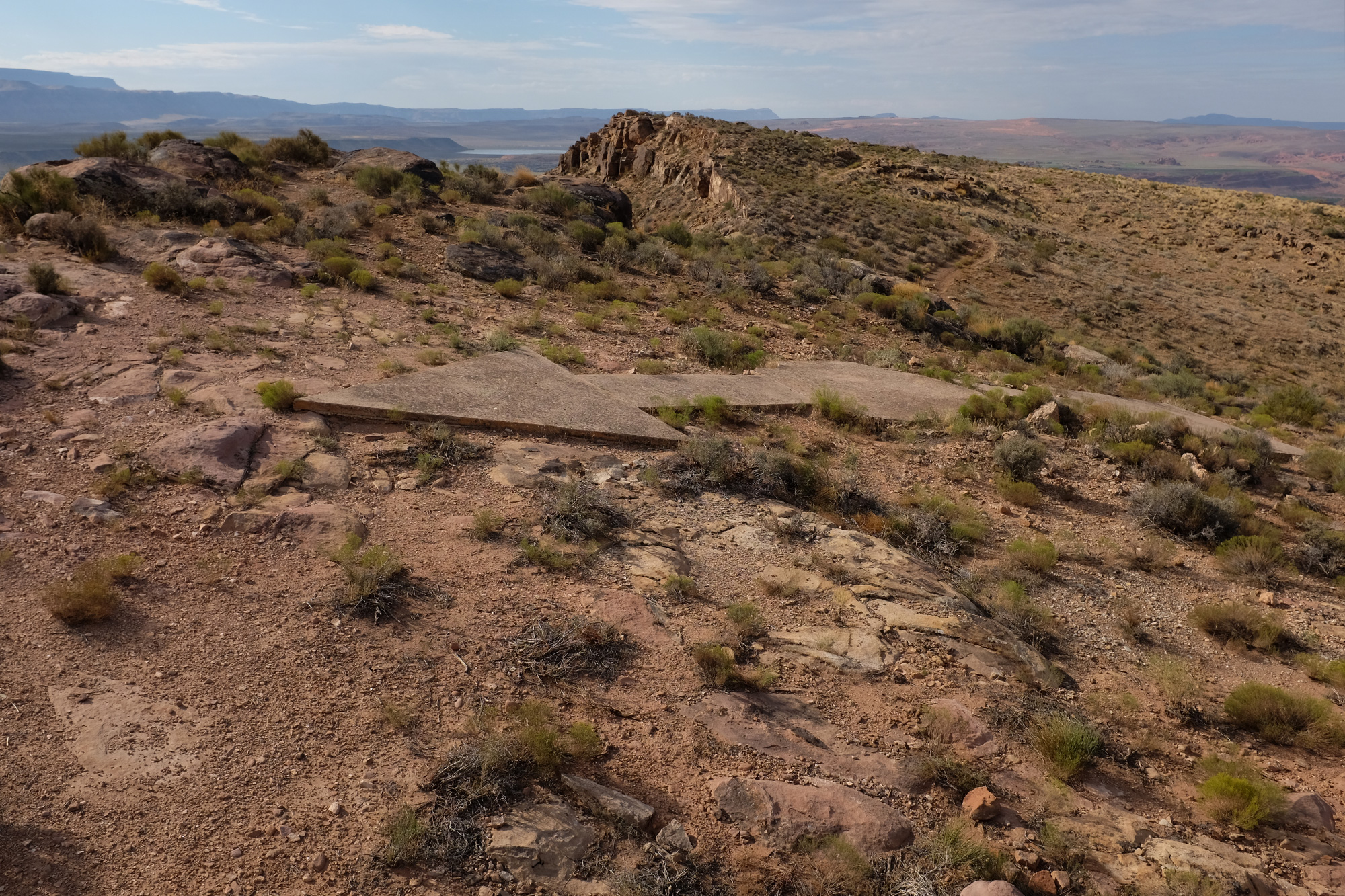
At this point, maybe twenty feet below the summit, a low gap opens between the twin-pronged peaks. To the left, a steep section of fist-sized lava rocks offers the best route to the top. The safest strategy for ascent is to walk a weaving path back and forth across the precipitous, loose terrain in a tacking motion, like a sailboat moving against the wind. The unnamed peak reveals itself to be the edge of a massive plateau, and at the top sits the object of the climb, one of the remaining giant concrete arrows used to direct early transcontinental airmail flights across the country. Sagebrush, or something like it, has grown around this arrow, but the sun-bleached, cracked concrete still sits in stark contrast to the native black soil.
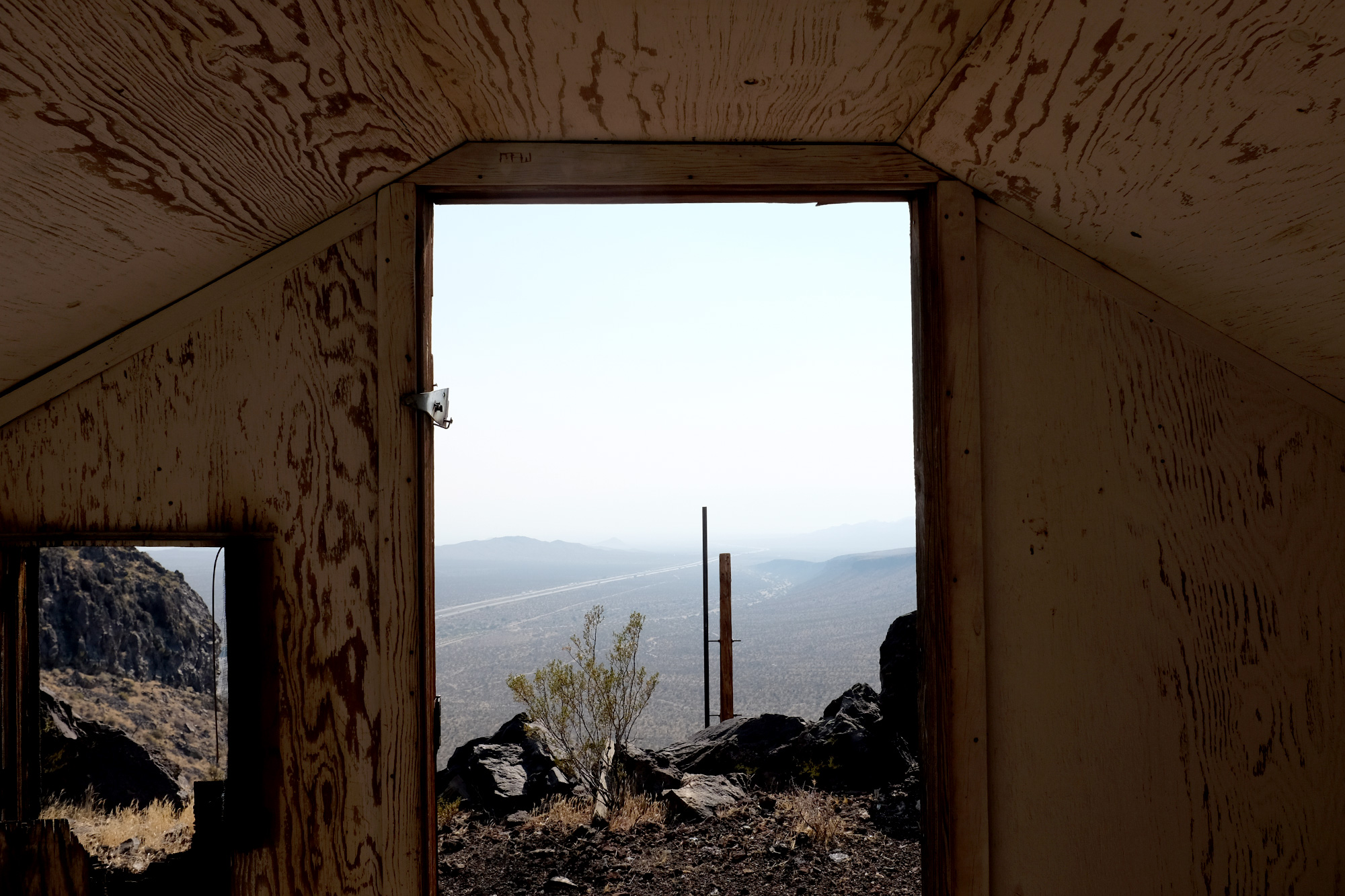
Despite the ribbon of movement and sound from the freeway several hundred feet below, the remoteness of this location is palpable. The earth falls away on three sides, and imagining a single engine propeller plane flying overhead, laden with written correspondence, is vertigo-inducing. Continued below
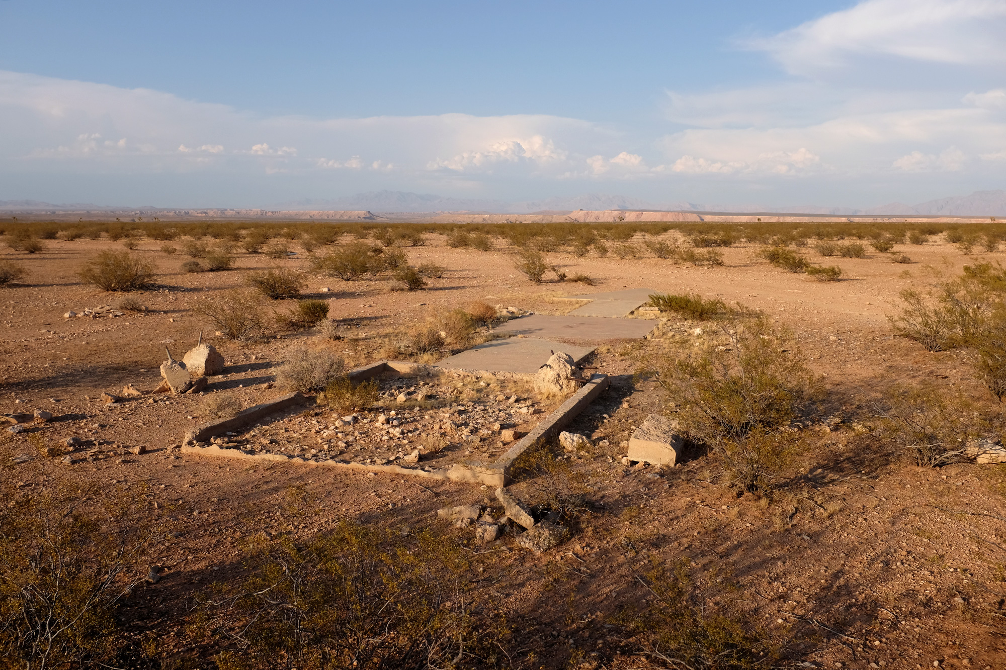
Barstow, Calif.
Las Vegas, Nev.
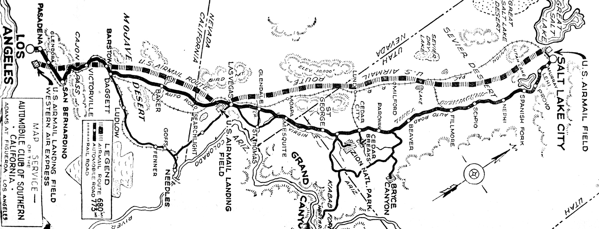
Starting in the late 1920s, these markers were placed every ten miles across the United States to direct airmail pilots to their destination. It was a massive infrastructural undertaking; ground markings for the sky. Every sixty miles, an elevated lit beacon accompanied the arrows to aid nighttime navigation. The time required for cross-country letter delivery was reduced to an astounding twenty-nine hours, down from several days when carried on the railroad.
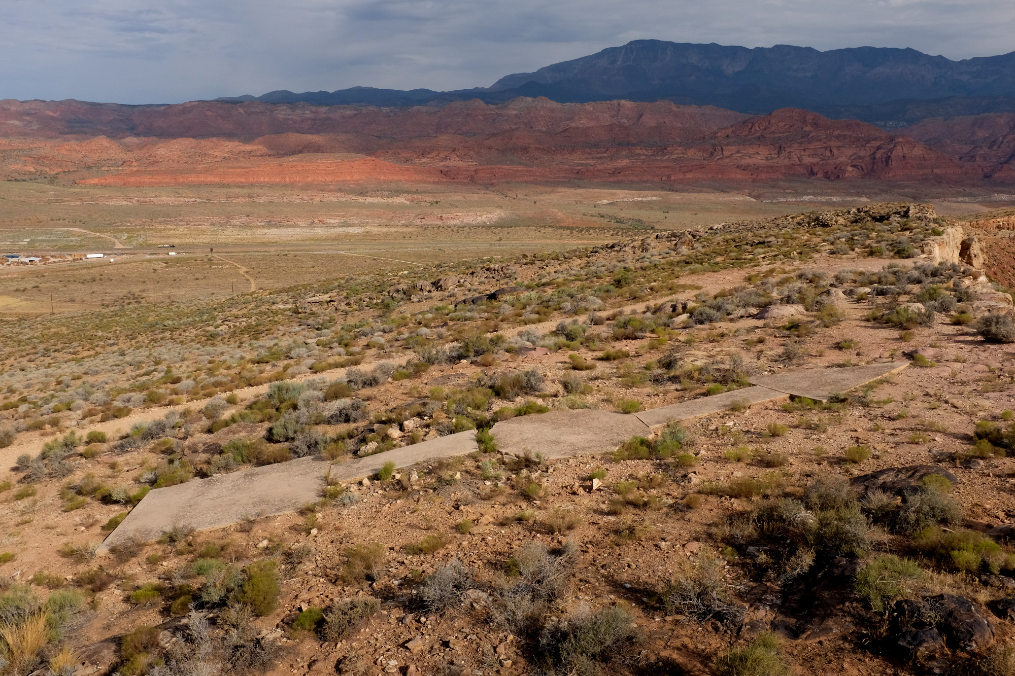
Today these arrows sit largely forgotten, useless cogs in an antiquated information-sharing network. A Facebook page titled “Concrete Arrows and Beacons” collects photos and compiles GPS locations of these relics. The admins’ personal website, Dreamsmithphotos.com, serves as an indexical hub for arrow enthusiasts. The majority of the images are sourced from Google satellite views. It’s a curious conflux, where the internet platforms used to find, view, and share these arrows are the very technological advancements that have made airmail obsolete. Designed to be viewed from a low-flying airplane, and contemporarily researched via views from outer space, these arrows almost disappear when viewed from the ground. To encounter an arrow in real life is to view it at ninety degrees askew, flat, almost too large to really understand. It is hard to even conceptualize their function, the speed at which they must have been passed, the labor of their construction, the then-unthinkably-speedy communication they facilitated, the hubris to mark the landscape in this manner.
Now dizzily back on earth, one clambers back down the side of the peak to the compact white SUV, to the comfort of AC and the security of GPS.
Returning to exit 259 (no services) requires driving back along the unnamed, unpaved service road. In this direction, the driver is positioned parallel to the freeway traffic of I-15, both moving West. Though cars and tractor-trailers glide smoothly across the even-grade asphalt, the compact white SUV bounces and tosses over the rutted dirt, the driver’s attention fixed on the path ahead. In the driver’s peripheral vision, these other vehicles slide silently past, like distant jets flying overhead. Just up ahead is Halloran Springs Road, and then the freeway where the compact white SUV speeds up and rejoins traffic.
Mesquite, Nev.
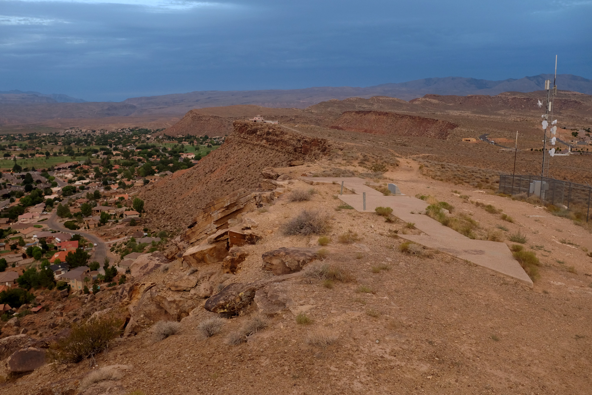
St. George, Utah
Washington, Utah
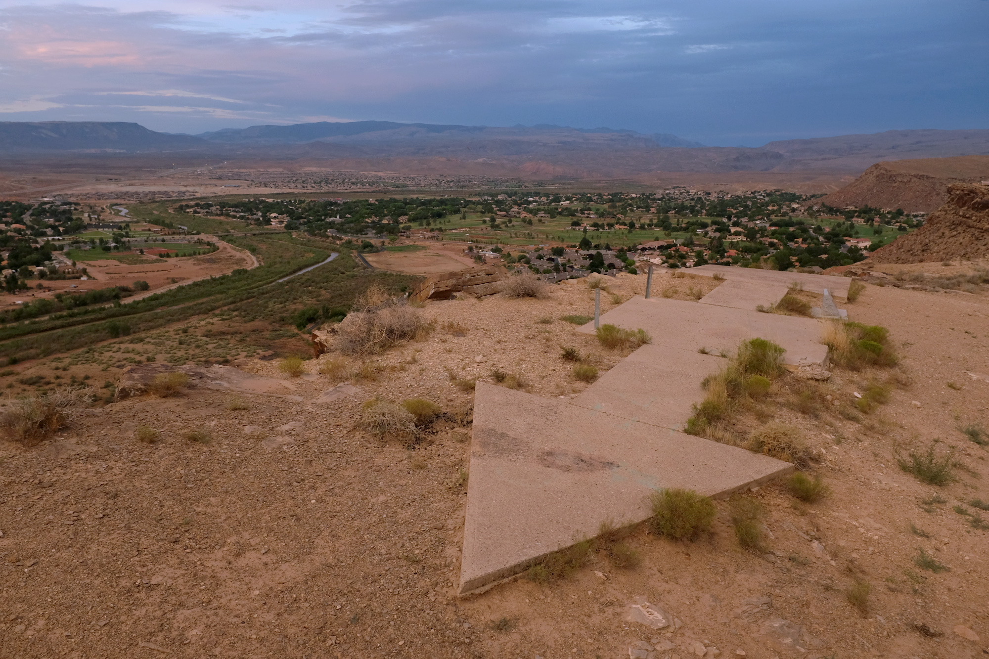
Hurricane, Utah
University of Southern California Special Collections Library Aviation Clippings Scrapbook
2019 - 2022 2016 - 2018 2011 - 2015
Fanzines and Pamphlets University of California at Santa Barbara CONTACT FOLLOW All content (C) Alex Lukas, 2011 - 2026 |